This is a pamphlet I wrote in 1991, revised and enhanced.
It was a study of then published software named "PageMaker".
I found .txt formatted files for "History", "01Central Area" and "02Sanaruko" in my HD.
Other files were saved in .pmd and there is no way to open them. I shall replace them with newer findings.
I will try to write them after Ando Hiroshige's "53 stations along Tokaido". People in older ages have no way than walk on their foot and this brings you of so many things than go on cars or shinkansen. If you walk on your feet, there are so many findings about what has changed from Hiroshige days and what don't cchange.
I feel happy if you copy and use it freely as a part or whole. I owe no responsibity from it's quotation.
7.1 2021
KOYAMA Keiichiro
〒430-0946
109-12 Motoshiro-cho
Hamamatusi
JAPAN
古山恵一郎
〒430-0946
浜松市元城町109-12
tel: 070-3140-1432
fax: 053-488-8433
e-mail:
ask@tcp-ip.or.jp
History
1 Central Area
__contd.
2 walk to Sanaruko
3 Imagire
4 Arai
5 Hashimoto
6 Washidu
7 Shiomizaka
8 Futagawa
e1 Kakegawa
e2 Kotonomama
e3 Sagara
1-6. Kamo no Mabuchi
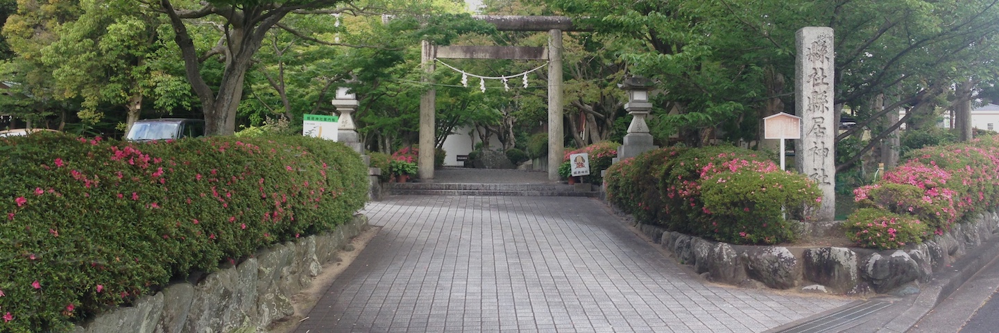
To the south of Kamoe-ji, you will come to the edge of the heights where you can see the Pacific ocean in the distance. The Grand Hotel is there on the heights where the residence of the assistant for the governor was. Opposite to the west of a wide gap is the Museum of Kamo no Mabuchi, a great scholar and the priest for the Kamo-Jinja just below the edge of the heights.
Kamo-jinja is placed to enshrine the water where it had been springing from the bottom of the hills. Here had been the wharf of Hamamatsu where boats reached to Hamanako by Shinkawa and further.
After the ferry service to the west of Hamanako replaced by train, textile spinning company was built using the abundant springing water below the edge of the plateau while European industries devastated by WW1. Long after the urban area sprawled yo Mikatabara plateau, water never come out from below the cliff. The place once textile spinning company operated is now used by The Chamber of Commerce.
Later in the Meiji era, a factory for JR Co. opened here and the boats and horses were gradually replaced by train. Iba Iseki ruins , which recalls still older ages is just behind the JR factory.
1-7.Small house at Kamoe
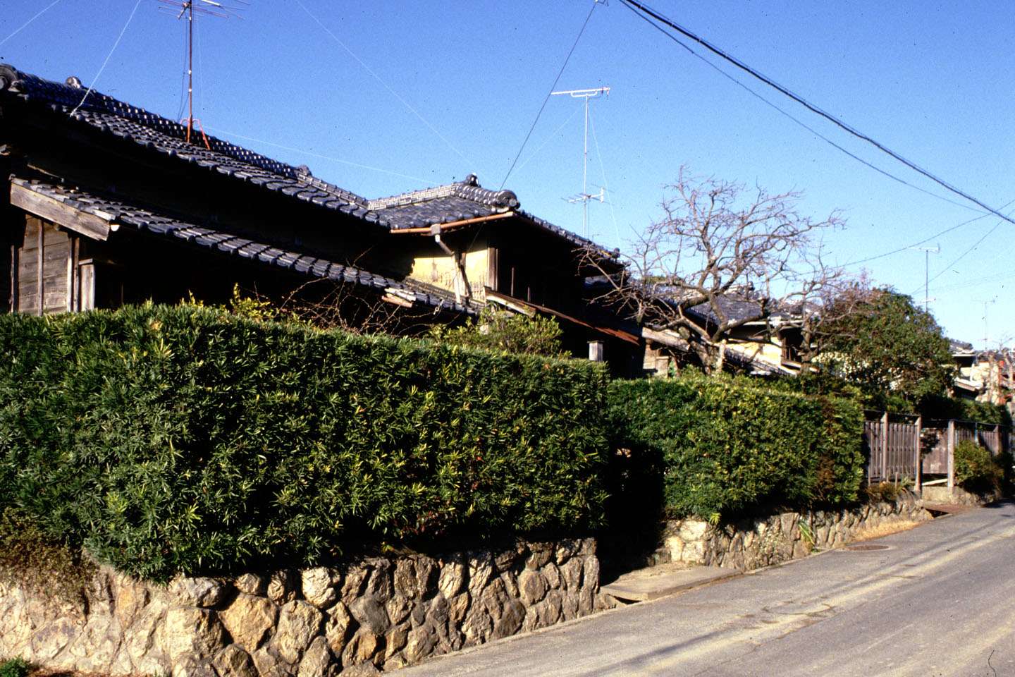
Walking west from the Kamo-no-Mabuchi Museum you come to the western edge of the heights where you can see the low land where tanbo had been spread and rice growing till just recently and Sanarudai can be seen beyond it. About 150 m to the south of Susanoo-Jinja is this small house which represents well the skills of carpenters when they are at the top of their craftsmanship and spirit. After the mid 1930s it was impossible for them to work other than for the war time controlled economy. Since then they could never show such delicate wood woking again. After the reconstruction of the war damage , industrialization took the place of carpenter's manual skills.
From the nicely preserved condition of this small house , I can feel tender heart of the present owner for his house.
1-8. Akiha-Zaka
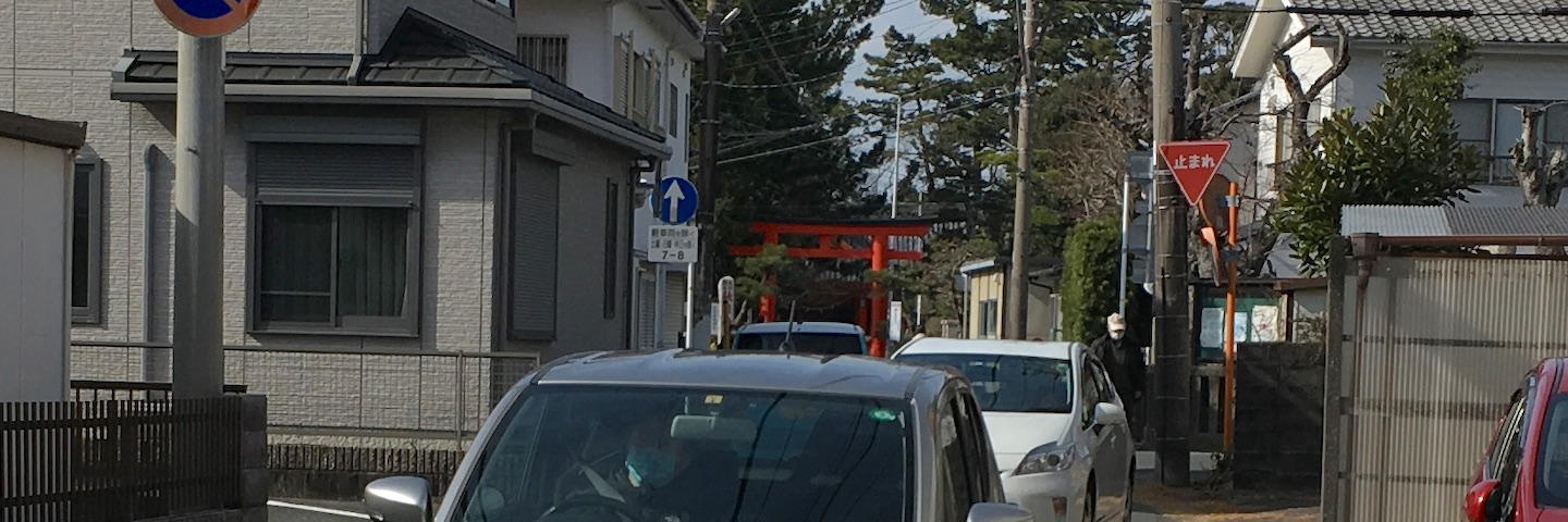
Akiha Jinja Sits on top of a mountain north hamamatsu. This is a branch. Once it had a large estate in Takamachi though, houses overflown nearby quarters. More than that, many commuting cars clogging the entrance.
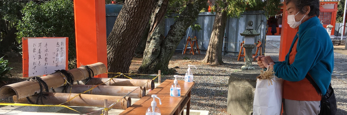
Chouzu. Hand wash had been a important ritual in Japanese Shito. Last year, it replaced with chemical sanitizer.
Up the slope from the corner of Renjaku-cho westward to Takamachi, you will find Akiha-jinja dedicated to the guardian against the evil of fire. The head shrine of Akiha-jinja is enshrined on Mount Akiha, some 30 km north from Hamamatsu and was worshipped nation-wide especially in the days when the buildings were less fire proofed. Along the south side of the shrine here is the old Akiha-zaka, sloped way leading downward to the western villages. It was the western edge of Hamamatsu until urban sprawl after WW II begun.
The road had been cut revealing the red earth and embankment with bamboo shrubs, woods spreading overhead. It may remind you of the road in old days. Down the slope, you will come to Hirosawa-cho where once was the village of Sawa. Domains of the Samurai high rankers and temples sponsored by them were here. Husai-ji and Seirai-in have been the most famous ones. In Seirai-in, there is the tomb of Tsukiyama-gozen, wife of Tokugawa-Ieyasu who was murdered on the shore of Sanaruko.
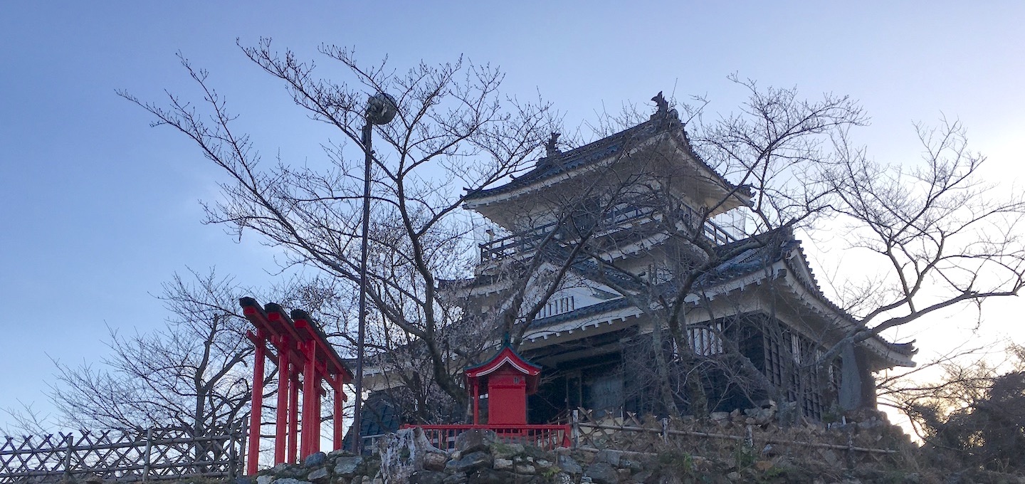
1-9. Hamamatsu-jou
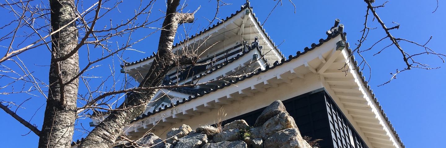
The tower is a mere observatory built in 1959.
Ḍākinī or Kālī from Hindu religion enshrined in this red painted tiny shrine. Iyeyasu stationed in Hamamatsu when Brits and Spaniard begun invading India. Iyeyasu may prepared for western invasion learning after Mongolian invasion experience.
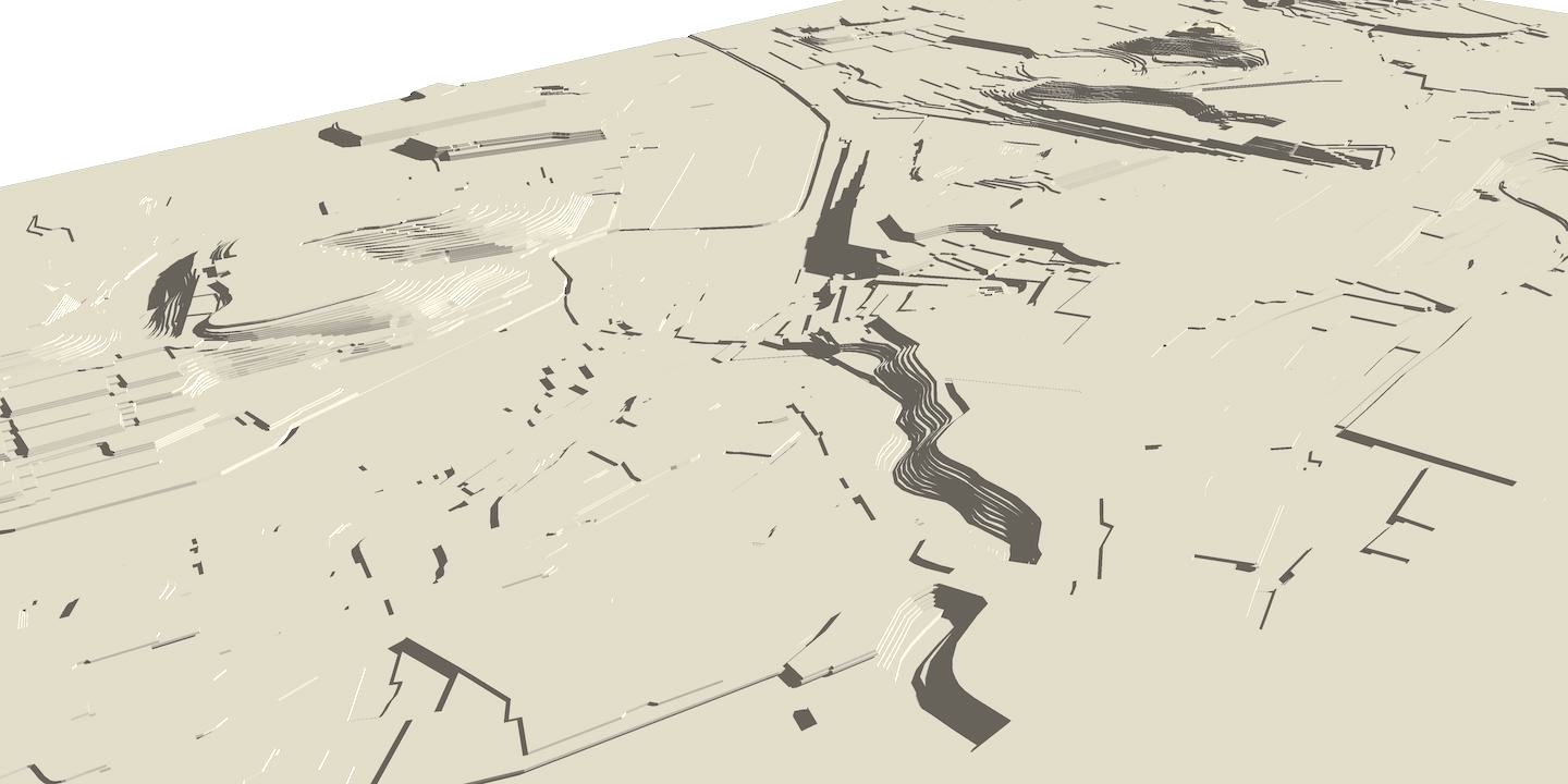
Before Tokugawa Ieyasu came in, there was a fortress on the hilltop east of the Central Park and Hotel Concord. On 1570, Ieyasu and his troops stationed here preparing to conquer the East. The castle and its surroundings were consolidated in a large scale.
Sai-ga-gake, about 1km to the north of the castle tower was said to had been the outer moat.
Soldiers' barracks were arranged within it. The castle gate to the north was settled at Kameyama-cho where a pocket park west of Chubu-Chugaku is now. Hills and gaps were fully utilized to enforce the defensive quality of the castle. Buddist temples were located around the castle to curse against the foes in the battle. The lawn of the Central Park was the inner moat.
There had never been the Tenshukaku:Tower at Hamamatsu castle. Ieyasu made a mound about 10m high above the highland of Mikatabara at its edge looking east. Light rail was laid along outer moat in 20th century. Looking from east to west:
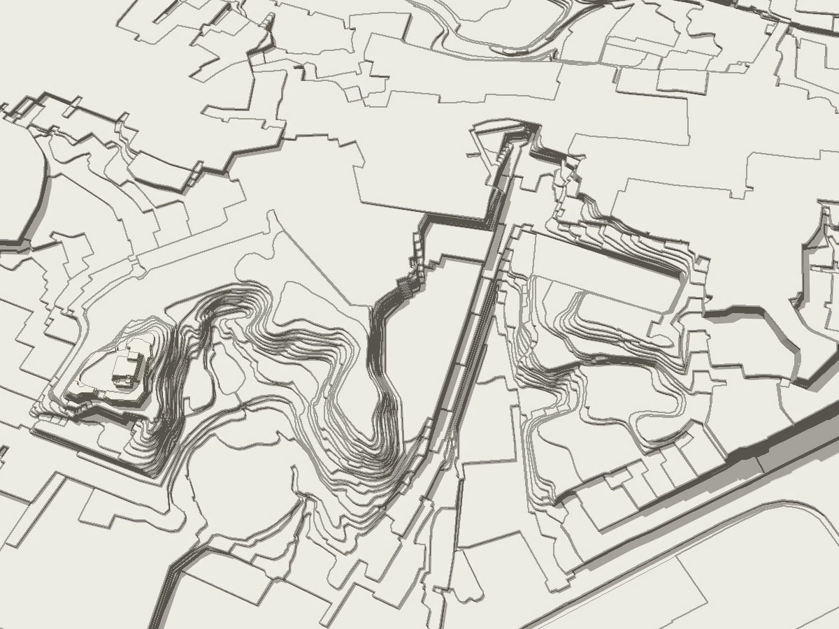
SaigaGake, north of the castle may be still another outer moat than natural terrain. Looking from the north-west, Its form looks like man made at the end to shape an entrance to the castle.
Map of the days back to YedoJidai shows only Tenshudai mound.
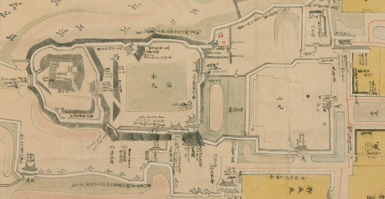
Hamamatsu Cenral City Library
This may followed Tower of Yedo cstle. After burt down in 1657fire broke out in townsmen's quarter, it never rebuilt. This followed the opinion by Hosina Masayuki, tower is no use in peace.
Through the 17th to 19th centuries, the castle served as the administration office rather than a military fortress.On the site of the older castle had built the rice storehouses which stored the tax-rice. You can see the particularly designed lanes cut below the ground level there. The City Office stands just on the site of the office in Tokugawa days. A young pine tree has a reserved place where the garden of the castle was and an old pine tree stood.
You can see the hills, valleys and other topographical features surrounding central Hamamatsu from the top of the rebuilt castle tower.
2 walk to Sanaruko