This is a pamphlet I wrote in 1991, revised and enhanced.
It was a study of then published software named "PageMaker".
I found .txt formatted files for "History", "01Central Area" and "02Sanaruko" in my HD.
Other files were saved in .pmd and there is no way to open them. I shall replace them with newer findings.
I will try to write them after Ando Hiroshige's "53 stations along Tokaido". People in older ages have no way than walk on their foot and this brings you of so many things than go on cars or shinkansen. If you walk on your feet, there are so many findings about what has changed from Hiroshige days and what don't change.
I feel happy if you copy and use it freely as a part or whole. I owe no responsibity from it's quotation.
7.1 2021
KOYAMA Keiichiro
〒430-0946
109-12 Motoshiro-cho
Hamamatusi
JAPAN
古山恵一郎
〒430-0946
浜松市元城町109-12
tel: 070-3140-1432
fax: 053-488-8433
e-mail:
ask@tcp-ip.or.jp
History
1 Central Area
__contd.
2 walk to Sanaruko
3 Imagire
4 Arai
5 Hashimoto
6 Washidu
7 Shiomizaka
8 Futagawa
e1 Kakegawa
e2 Kotonomama
e3 Sagara
4.Arai
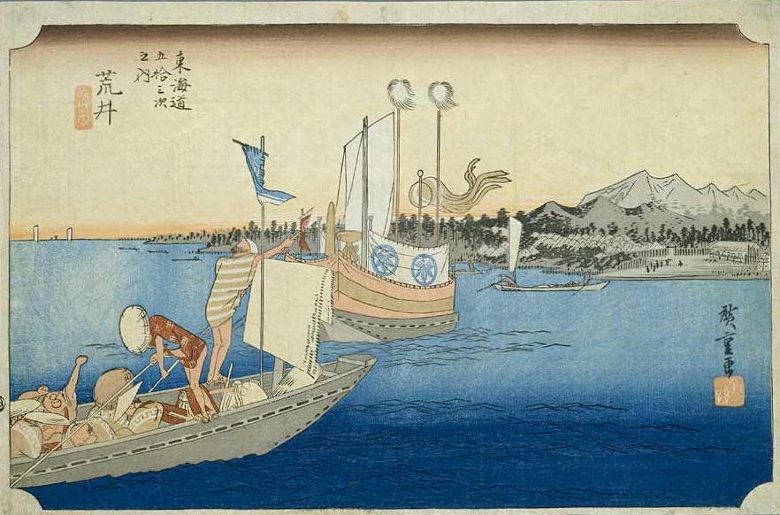
"Arai" by Hiroshige illustrate the Sekisho:official gate on the shore and some townsmen's quarter in its background. Far behind are some steep hills of Takashi Yama. In the center is a "Sekibune", boat used in navy but a mere "big boat" in Tokugawa days, with passenger's ensign on the curtain, windsock and spear cover unique to the clan.
Illustrations like those by Hirosige is not a realistic pictures with modern day's perspective. They are drawn to Illustrate the elements and their nature of the object in most understandable shapes.
"Arai" means "New site" or "Newtown". In Arai's case, the old site was washed away by gigantic tsunami in 1498. "Old Site" or "Old town" was on the bank of "Hamana Gawa" river and Hanmanako had been a fresh water lagoon before the tsunami.
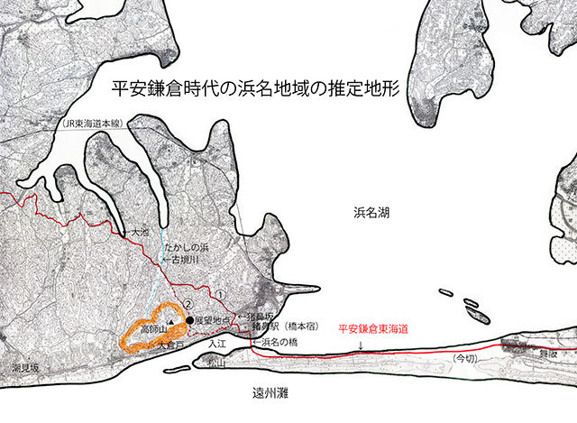
Arai was called Hashimoto wich means "foot of the bridge" before 1498 tsunami. And "Sekisho:Checkpoint" or barrier to the eastern estates. Arai was Sekisho at sea and Hakone was Sekisho on the mountain.
Seaport at rivermouth behind dunes are buried by the dune sand once in a decade or so with dune sand. This made flood up around Hamanako. Villages around it had been damaged everytime.
Minamoto Yoritomo crossed the bridge over Hamana-gawa in 1192 back from Kyoto requesting the title of Seii Taishogunn. He felt so relaxed here feeling he had reached to the Eastern Estates.
There is a hill called Genta Yama at the easternmost of the Takashi Yama hills. Ganta Yama is said to be called after the name of Yoritomo's valet.
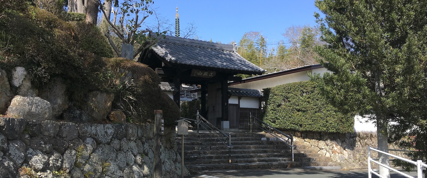
In the new town of Arai is a street calld "Tera-Michi" lined with Buddhist tenples. Some of the temples were relocated from former site which was wased away by 1498 tsunami.
Hongaji
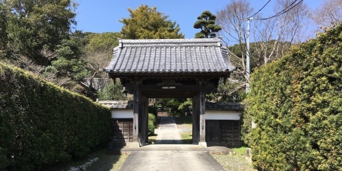
Rinkai-in
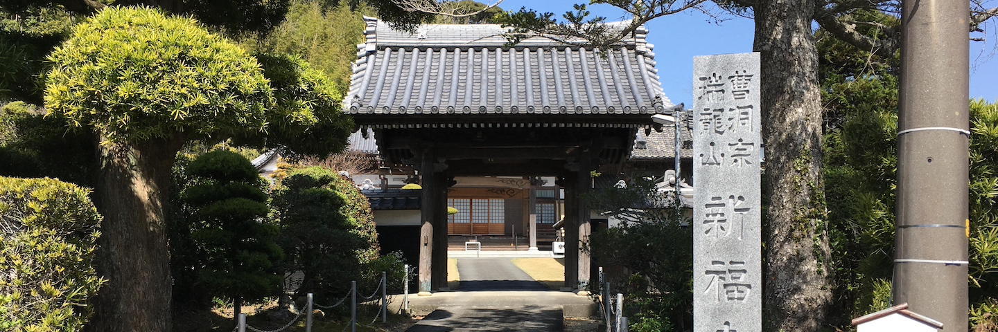
Shinpukuji
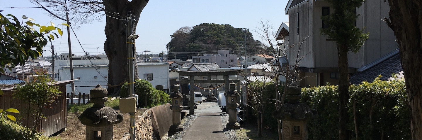
There were Shinto shrines in arai too in Arai too. This is Minato Jinja on Genta yama.
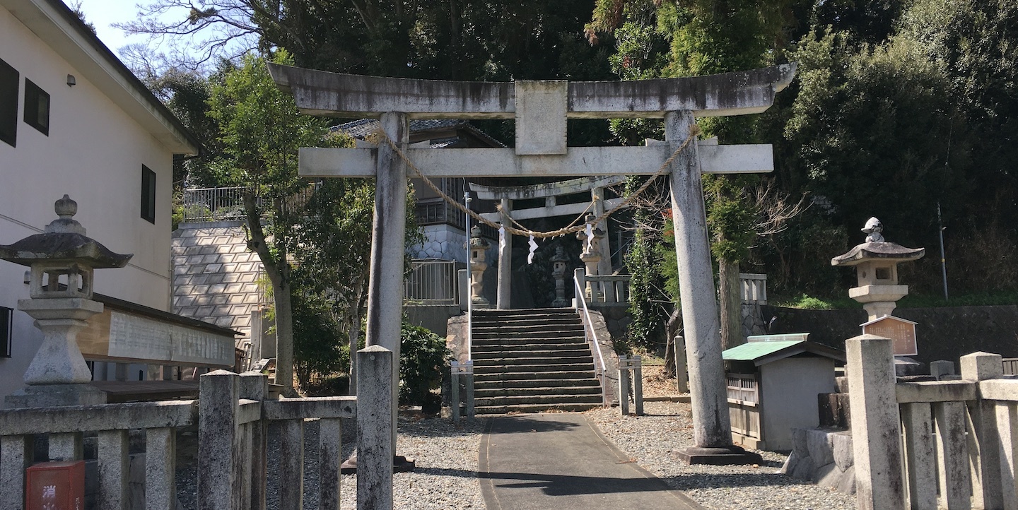
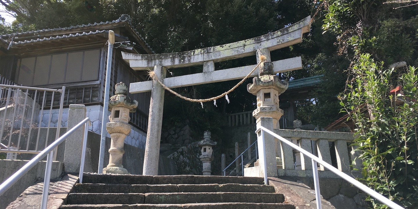
Back of Kakikoya store sits Suwa Jinja. With a Victory Monument of Japan Russia War of 1004-05.
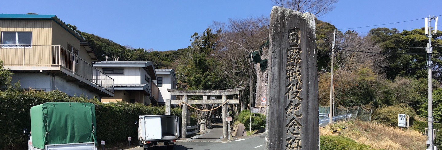
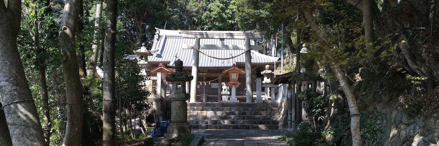
Look back to Torii and you can find Minato Jinja.
”Tuno saku Hiko Jinja” was named as "Big Shrine" in 927 Engi Shiki list though, original site was washed away by 1498 tsunami. Some people say it is 1 Minato Jinja today.
Other claime are
2 Suwa Jinja
3 Hosoe Jinja in Hosoe cho, north of Hamanako. It is said the shrine washed away from Arai and drifted to ground at Akaike in Hosoe cho.
”Tuno saku Hiko” is the guardian protecting the people from disaster by "open and close of seaport". Such occation seems to be not once from older ages when people begin to live here.
3 Imagire
4 Arai
5 Hashimoto
6 Washidu
7 Shiomizaka
8 Futagawa